
Aerial Perspective for Property & Commercial Projects
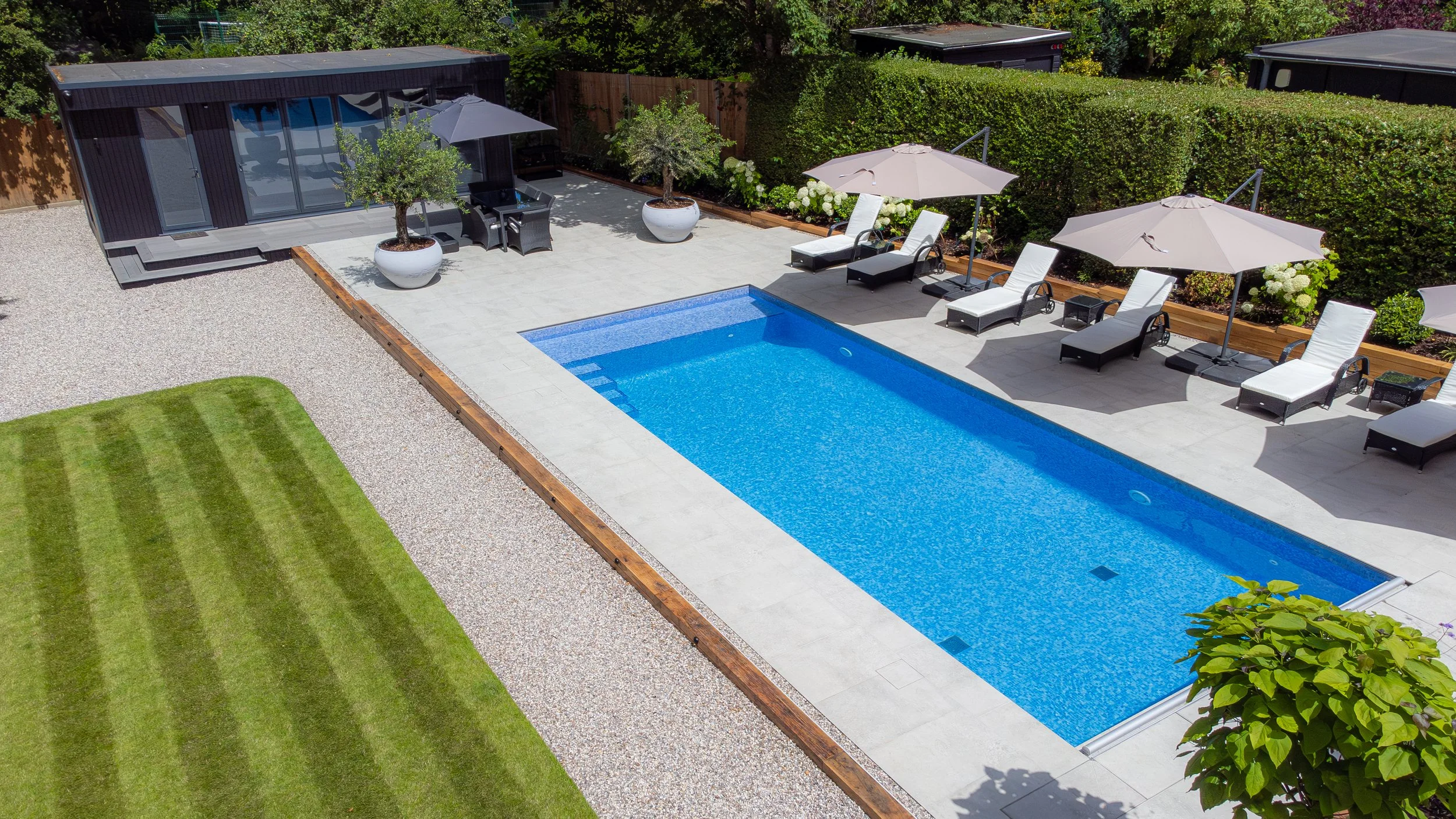
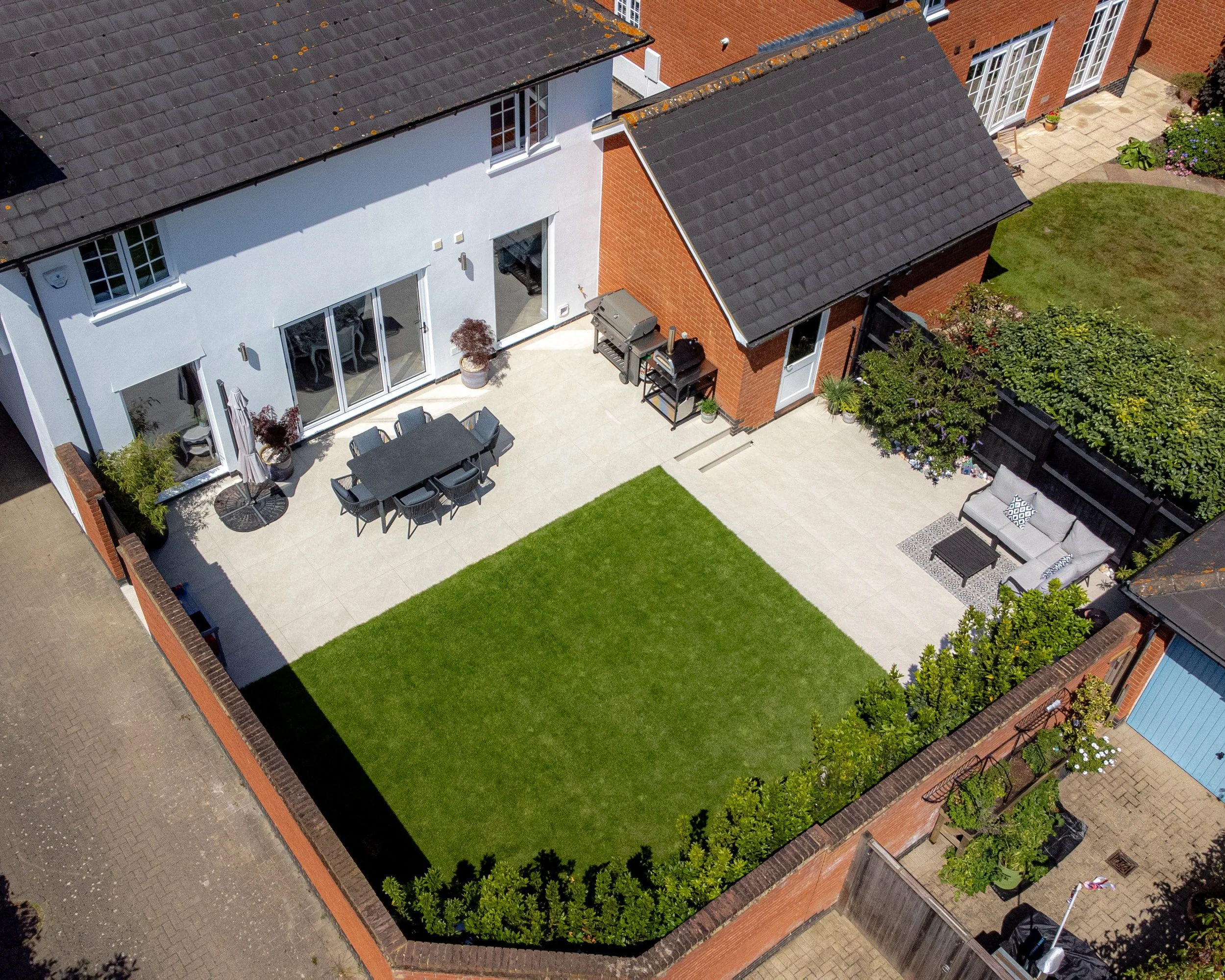
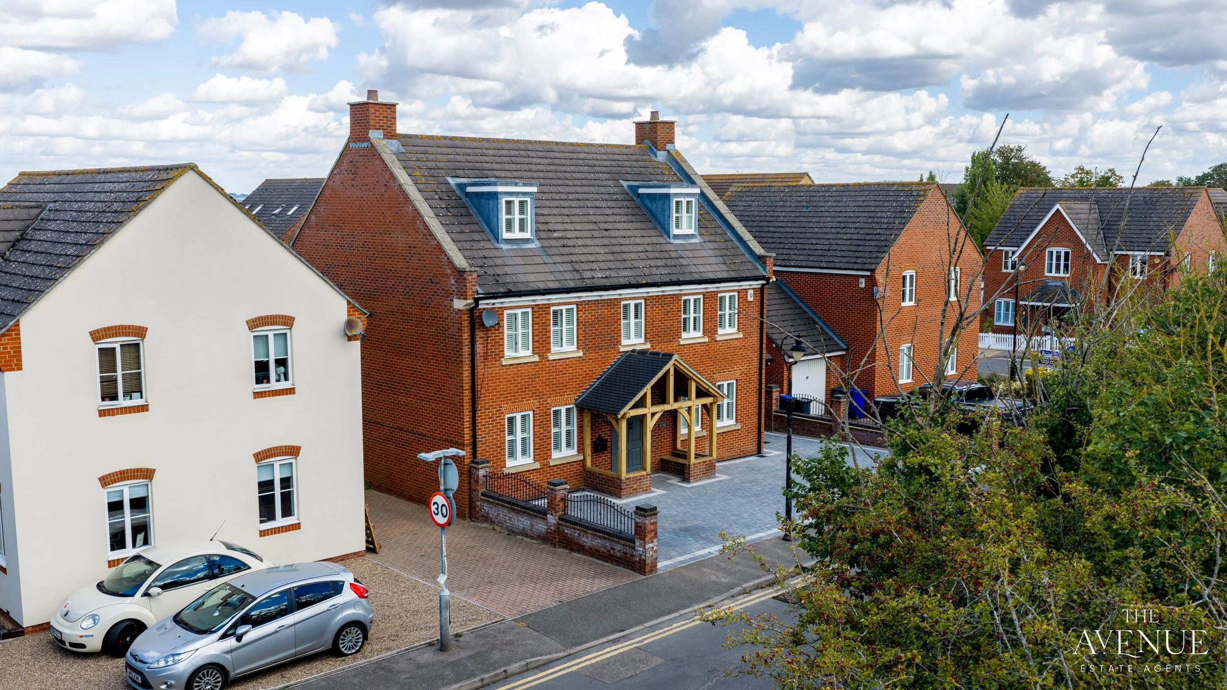
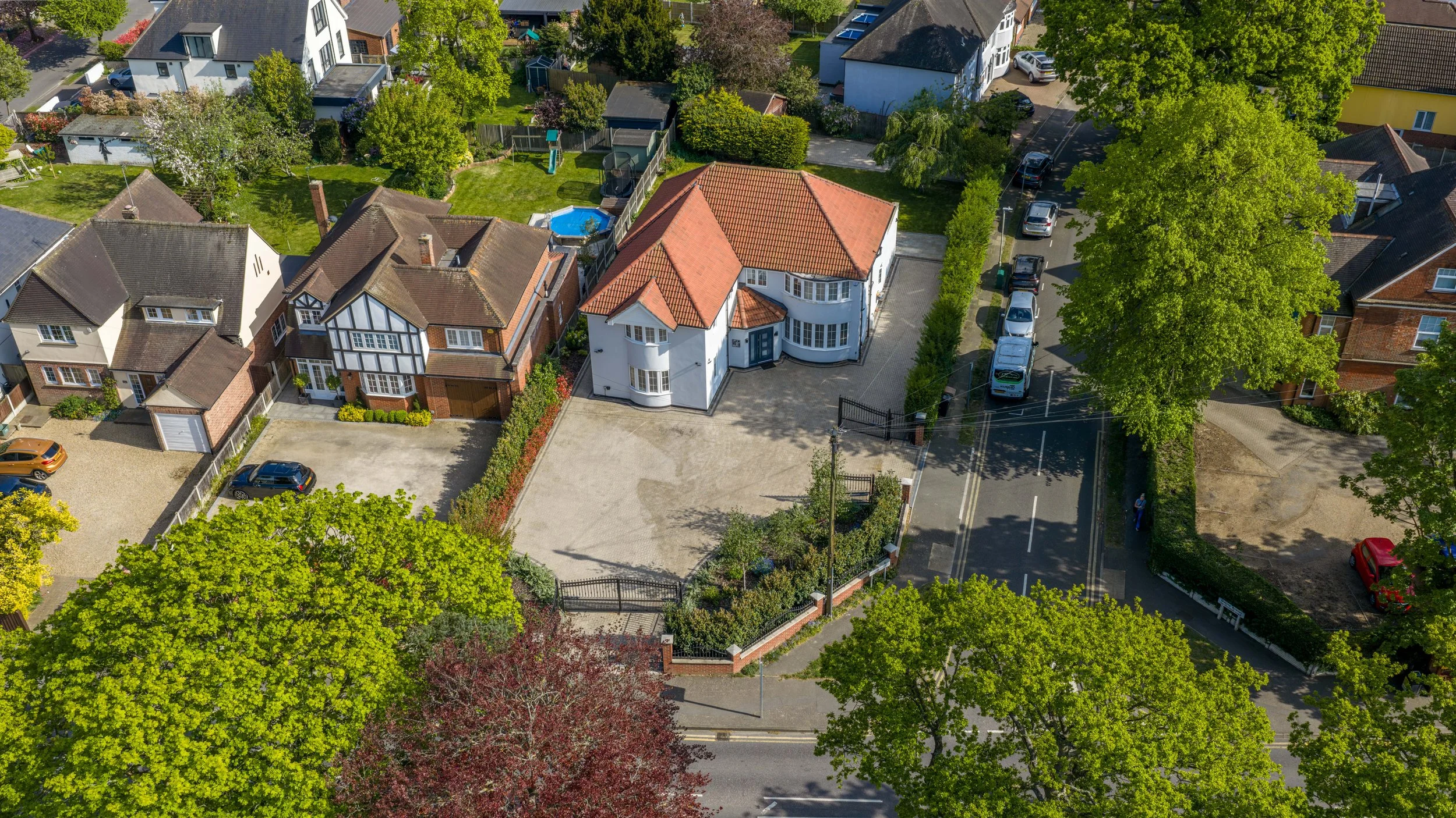
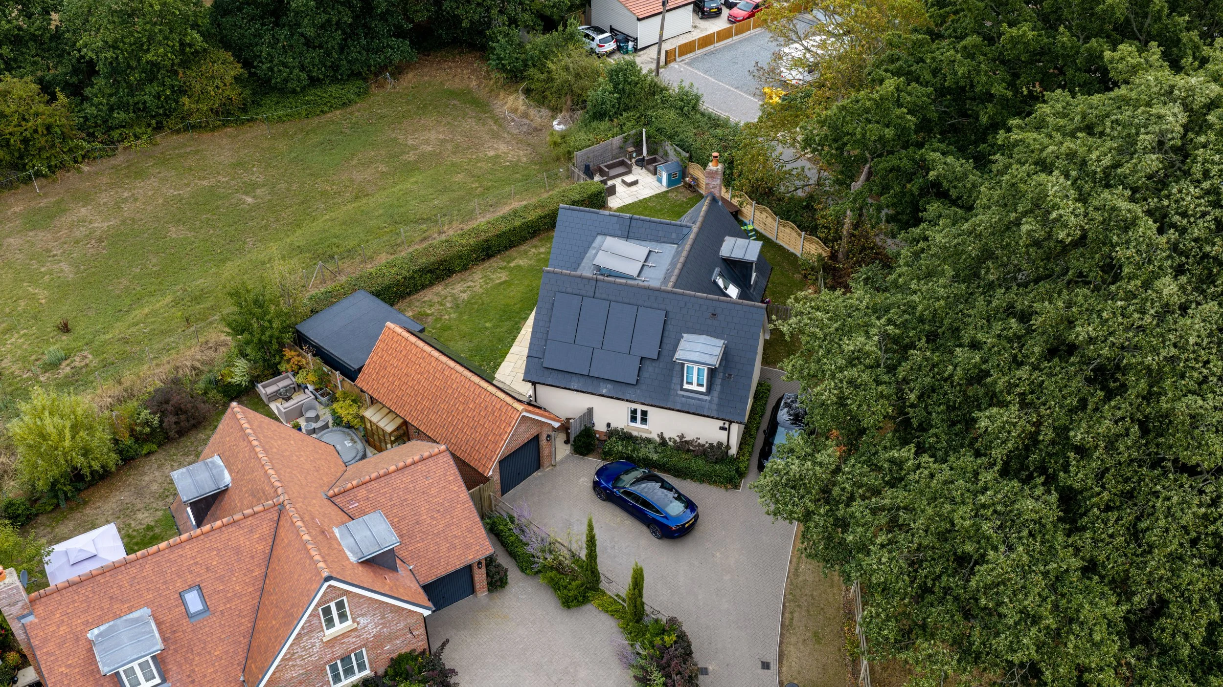
Aerial photography and video add scale, context, and impact that ground-level shots can't - showing a property's plot, a development's progress, or a commercial site's full footprint in a single shot.
I'm a CAA-registered drone pilot holding an A2 Certificate of Competency (A2 CofC), which allows me to fly closer to people and buildings than a standard licence permits. In practice, that means aerial content can usually be captured in the same visit as your ground shoot, with minimal disruption to a live site.
My aerial services include:
Aerial Property Photography -
Exterior and plot shots showing scale, boundaries, and surroundings.
Aerial Video -
Cinematic flythroughs and establishing shots for listings, developments, and promotional content.
Construction & Progress Monitoring -
Regular aerial updates tracking a build or project over time.
Roof & High-Level Inspections -
Detail imagery of roofs, facades, and hard-to-reach areas, without scaffolding or access equipment.
Site & Land Surveys -
Full-site aerial coverage for land, agricultural, or large commercial plots.


FAQs
-
Yes - I hold a CAA-issued A2 Certificate of Competency and full commercial drone insurance, so all aerial work is flown compliantly, including closer to people and buildings than a standard licence allows.
-
Yes - aerial photography and video are usually captured in the same visit as your ground shoot, so there's no need to arrange a separate visit.
-
Suffolk, Essex, and Hertfordshire, with travel further afield for larger projects.
-
Some sites - near airports or in certain restricted zones - need extra permissions. Flag anything unusual when you enquire and I'll confirm it's flyable in advance.
-
Same turnaround as your main shoot - standard delivery within 48 hours.